
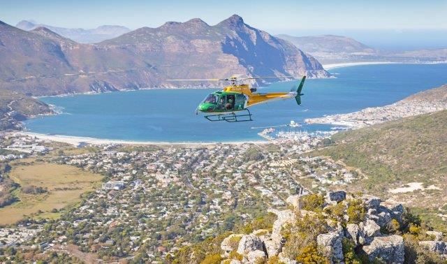
A SANParks helicopter will take to the skies on Thursday morning to conduct an aerial survey over the Silvermine section of Table Mountain National Park, including Upper Tokai, to assess the full extent of recent fire damage. The branded, low-flying aircraft will support ongoing recovery efforts by evaluating the condition of trails and infrastructure.
The purpose of the aerial survey is to evaluate the impact on trails and infrastructure. Although the fire is contained, JP Louw of SANParks, advised that the landscape remains unstable and potentially hazardous.
Public safety remains a top priority, with several areas—Upper Tokai, Silvermine, Constantia Nek, above Boyes Drive, and Clovelly—still closed due to lingering hot spots and unstable terrain. SANParks is urging hikers, dog walkers, and mountain bikers to avoid these zones.
“We strongly urge hikers, mountain bikers, and all members of the public to avoid these zones until further notice while the trail closures are in place,” Louw cautioned.
Beyond fire risks, the public is also being asked to show caution around displaced wildlife.
“It is also important that wild animals that have found refuge in unburnt parts of Silvermine are not threatened by dogs and people while the area recovers,” Louw noted.
In a positive development, the Chapman’s Peak and East Fort trails have reopened as of Thursday.
This follows the blaze that broke out along part of the Table Mountain National Park in Tokai last weekend. That blaze was contained on Tuesday.
ALSO READ: Firefighting operations scaled back, hotspots being monitored
Meanwhile, the Table Mountain National Park celebrates its 27th birthday on 1 May. According to SANParks, the iconic mountain and New7Wonder of Nature was originally named “Mountain in the Sea” by the indigenous Khoisan people of the Cape.
